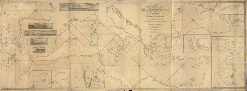
Steel's new and accurate chart of the Mediterranean Sea compiled and carefully reduced from a variety of original and authentic documents particularly from the surveys & observations [material cartográfico] : recently made by Vincent Tofino and other Officers of extensive Science and Experience under the orders and the expense of the respective goverments of Spain, France & Italy, Including a Plan of the Island of Malta. London : Steel & Goddard , Janry. 5th 1817. 1 mapa : blanco y negro ; 75 x 210 cm sobre pliego 79 x 214 cm.
Ver menos


